
Monitoring Restored Marshlands in San Diego Bay
- Laurie Koteen

- Oct 26, 2025
- 4 min read


California-wide, coastal wetlands have been lost on an extraordinary scale. They have been drained, starved of sediment, filled and constructed upon, bisected by transportation corridors, and served as dumping grounds for municipal waste. In South San Diego Bay, a small segment of these vital ecosystems is undergoing restoration to reclaim this critical habitat for wildlife in locations of historic wetland and mudflat habitat (Figure 1).
This effort, known as the Otay River Estuary Restoration Project (ORERP), has officially entered its monitoring phase, where we are tracking and verifying how the restored wetlands function.
The Mitigation Mandate

These newly restored wetlands were constructed earlier this year by Channelside LLC within the boundaries of the San Diego Bay National Wildlife Refuge (Figures 1 and 2). The impetus behind the project is to satisfy mitigation requirements imposed by the California Coastal Commission, which has the authority to require mitigation from coastal industries that impact coastal resources. Channelside, as the owner and operator of the Carlsbad Desalination Plant, has constructed these wetlands to compensate for the loss of marine life caused by the desalination process.

Since operations began in 2015, the plant draws in up to 300 million gallons of ocean water daily, and with it marine larvae that populate the lagoon, nearshore and pelagic environments that cycle through Agua Hedionda Lagoon, where the plant is located (Figure 2). By providing marsh habitat that serves as a nursery for several of the same fish and invertebrate species that are lost to desalination, the ORERP wetlands are compensating the state for the desalination plant’s impacts.
CMSF serves as the independent scientific oversight body for this project at the request of the California Coastal Commission, ensuring that restoration activities meet the mitigation standards required under Channelside's Coastal Commission permits.
As a neutral third party with deep scientific expertise, CMSF evaluates whether the constructed wetlands deliver the ecosystem services they're designed to provide, protecting both the public trust and the integrity of California's coastal resources.
The Newly Restored Marsh Habitats
The new marsh habitats are distributed across two tidal wetlands, which together encompass 125 acres. They consist of a smaller 35-acre wetland that was excavated to achieve tidal marsh elevations. This site is known as the Otay River Floodplain Site, or ORFS, because it was carved out along the length of the Otay River near its mouth, where it enters San Diego Bay. The larger 90-acre site is known as Pond 15. Pond 15 is a former salt pond once operated by the Western Salt Works (Figures 1 and 2). It was constructed by filling the former salt pond with sediments excavated from the ORFS and other local sources to repurpose the former pond and create a tidal marsh.
Monitoring New Marshes: Are they Functioning Similarly to Natural Wetlands?
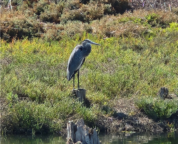
This September, we kicked off monitoring of fish and macroinvertebrates at the two sites. To be considered compensatory for the marine larvae that are lost through operation of the desalination plant, each site must demonstrate achievement of several performance standards detailed in Coastal Commission permitting documents. These standards encompass both physical (topography, tidal prism, water quality) and biological (fish, birds, invertebrates, vegetation) aspects of the restored wetlands. To ensure the constructed wetlands are performing as planned, we compare them to healthy, naturally occurring wetlands. This year, we are monitoring a natural wetland, Sweetwater Marsh in San Diego Bay, as a key reference site alongside the ORERP wetlands. Next year, we will also monitor three additional reference sites in Southern California: Los Peñasquitos Lagoon, Mugu Lagoon, and Carpinteria Salt Marsh. Later this year, we will monitor birds at the two ORERP sites and at Sweetwater Marsh, and install sensors at all three sites that measure water quality.

Concurrent to our monitoring efforts, the ORERP Monitoring Program also began a study of the soil salinity of the two restored sites. Because both sites were historically salt ponds, the presence of high salinity soils has led to concerns that plants would fail to establish in the wetlands following construction. However, as is evident in the photos above, even before a wide-scale planting campaign could be implemented, numerous wetland plants had established in the areas of the ORFS that were first opened to tidal inundation. Although the established plants are predominantly annual species, their germination and growth indicate the marsh is more hospitable to life than had been feared. In addition, numerous birds from a variety of species are currently using both sites, and fish and macroinvertebrates have also been observed.
A Promising Start
As our monitoring efforts continue and as the wetlands further develop, we hope to see two thriving tidal marshes within the next few years. CMSF’s monitoring program will extend over the full operating life of the Carlsbad Desalination Plant, estimated at 30 years. The launch of CMSF’s monitoring phase and its continuance will provide the requisite accountability to preserve the resilience of these vital restored ecosystems into the future.


Comments